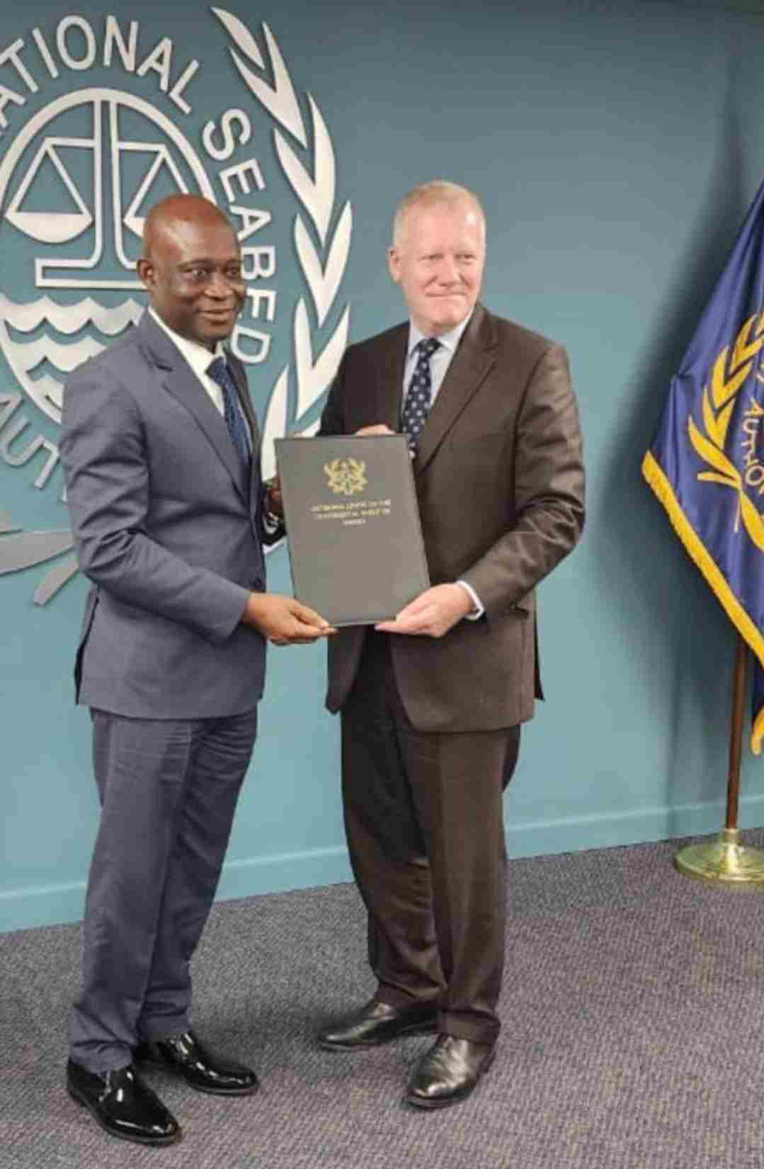
The National Coordinator of the Ghana Boundary Commission (GhBC) – Major General (Maj Gen) Emmanuel Kotia led a delegation from Ghana to formally deposit the Charts and Maps of the Outer Limits of the Continental Shelf for Ghana, to the Secretary General of the International Seabed Authority (ISA) – His Excellency (HE) Mr. Michael Lodge in Kingston, Jamaica.
The submission on Wednesday 1 November 2023, is a key requirement for littoral states under the United Nations Law of the Sea, for the Continental Shelf defines the outer limits of Ghana’s maritime domain beyond its Exclusive Economic Zone (EEZ).
Receiving the documents, the Secretary General of ISA praised the Ghana Government for fulfilling a key requirement under international law, specially extolled the GhBC for its excellent work over the years, and advocated for the strengthening of stronger relations between his organization and the Ghanaian Commission.
In earlier discussions between the two figureheads, which centred on the procedures for exploration of Oil and Mineral Resources in International Waters, HE Lodge urged Ghana to use its experience in offshore activities, to explore resources in the deep waters, under the auspices of the ISA.
Present at the ceremony were Mr Freddy Wosemewu Blay – Chairman of the Board of Directors of the Ghana National Petroleum Company (GNPC); Mr Opoku Danquah – Chief Executive Officer of GNPC, and Technical Staff of the GNPC.
Credit: GhBC PR
